

Description
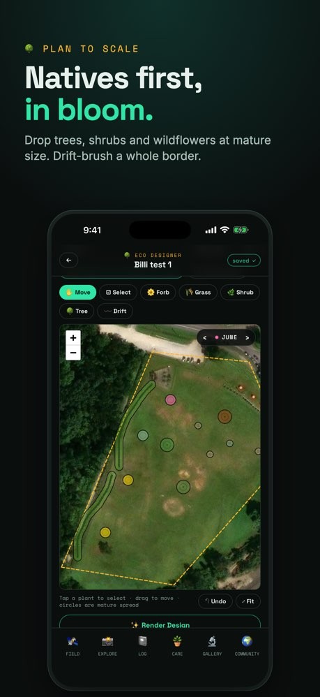
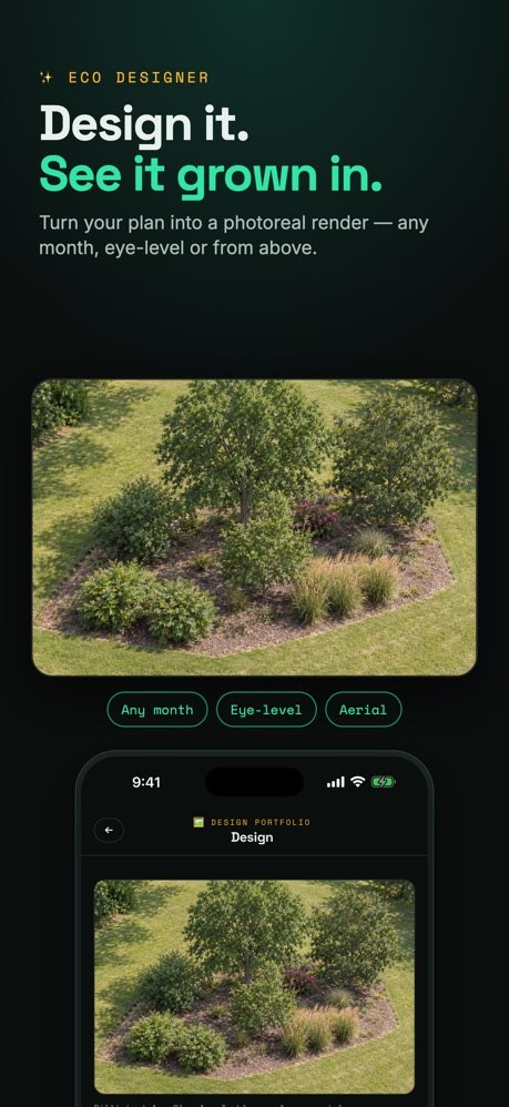
EcoPlot turns any patch of land into a living conservation project. Draw a boundary or drop a pin, and EcoPlot instantly pulls satellite and ecological data — then an AI "superteam" of specialists tells you exactly how to restore it.
MAP YOUR LAND
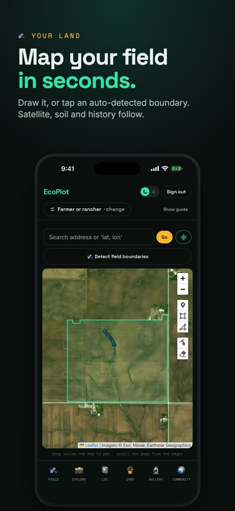
• Draw a boundary, drop a pin, or upload a file
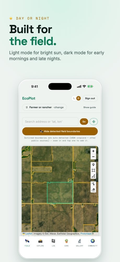
• Real satellite imagery with automatic data ingestion for your exact parcel
INSTANT LAND INTEL
• Vegetation cover & forage production (Rangeland Analysis Platform)
• Drought status (US Drought Monitor) and nearby wildfire activity
• Biodiversity occurrences (GBIF) with at-risk species flags
• Land cover (NLCD) and solar energy potential
SUITABILITY SCORES
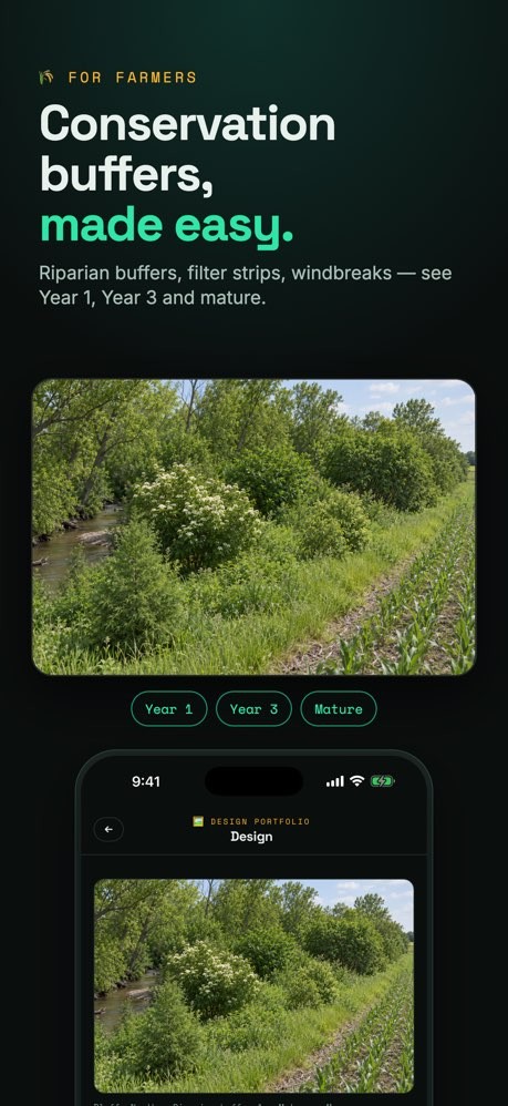
See how your land rates for regenerative agriculture, reforestation, pollinator habitat, renewable energy, habitat protection, and riparian restoration — each with an explainable score.
YOUR AI CONSERVATIONIST SUPERTEAM
Chat with specialist AI agents — ecologist & botanist, conservation biologist, entomologist, and soil & water scientist — all grounded in your land's real data. Get a prioritized restoration plan aacscasnd native planting recommendations tailored to your region.
FIELD HUNT — DOCUMENT THE WILD
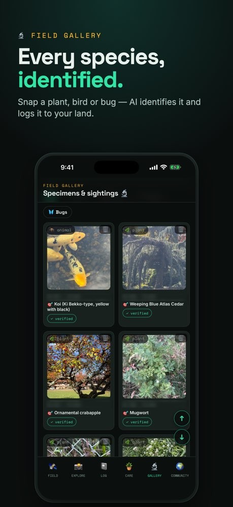
• Snap a photo and AI identifies the species, flagging native, endangered, and invasive
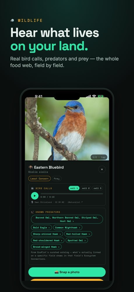
• Record a bird call and verify it b
• Build your Field Dex and learn about species found near you
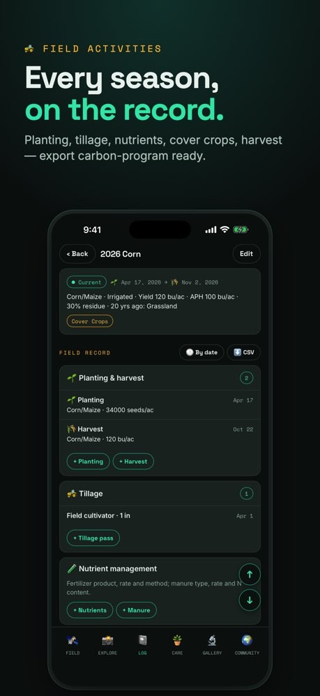
FIELD JOURNAL
Document your plantings, cover cropsgged photos and audio — real evidence
of the restoration work you're doing
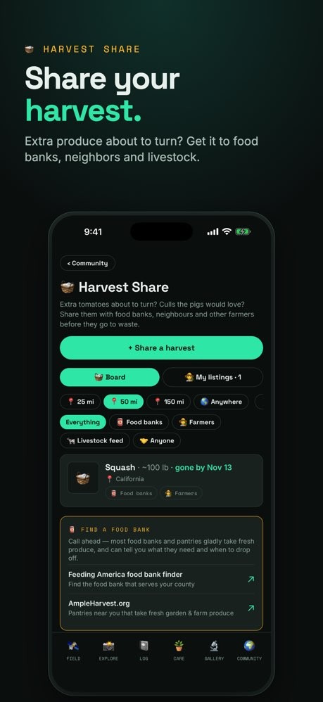
EARN & GIVE BACK
Earn Planet Points and badges for tafor a free consultation with PLANT
Group's ecologists.
Welcome to the solarpunk future. Bui
EcoPlot uses free public data from UBIF, and NREL.