

Description
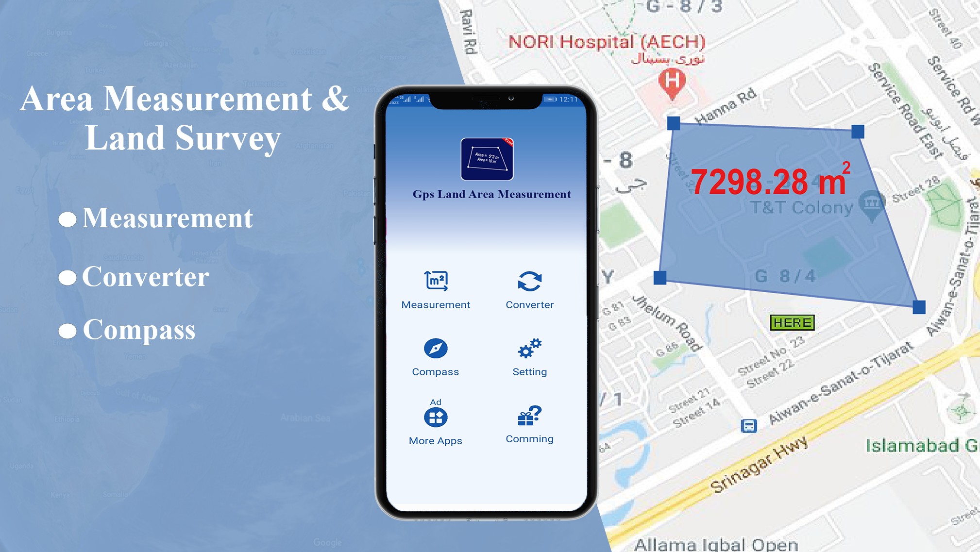
Gps Field Area Measurement and Land Area Calculator Helps you to measure land on Gps Map. Gps field Area Measurement is unique Application That’s Help Engineers and farmers to measure land in seconds .Land area Calculator Measure Gps Area or Gps Distance with High accuracy. The working of Gps area Measurement is quite simple.
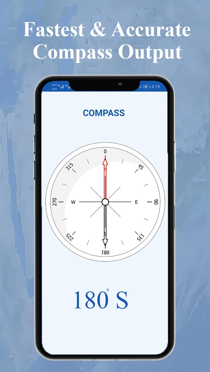
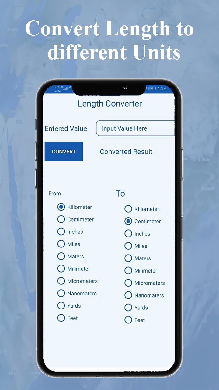
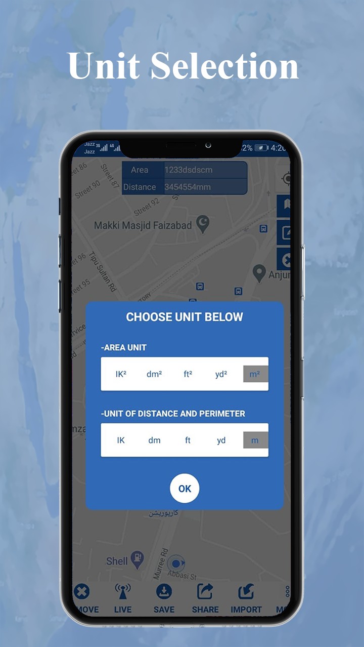
Select Gps field area measure on mobile screen. Points of interest on Gps map to be measured and result will be generated. This Distance calculator App gives you results in different unites. You can interchange the length units as per your need. Distance and area measurement App has different types of view in built in form Satellite View, Terrine View, Hybrid view. Gps Field Area Measure is being used for multi purposes. Calculate the area for Dam and for Farm Fencing with Gps land Measurement. Players can also Track their Route distance.
GPS Area Measurement can Helps
- Land based surveys
- Farmers, for farm management
- Land record management
- Construction surveys
- Agronomists
- Town planners
- Construction surveyor
- Health, Education and facilities mapping
- Farm fencing
- Sports track measurement
- Construction sites and building sites area
- Asset mapping
- Landscape artists
- Landscape design
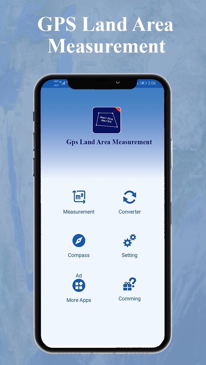
Features of Area calculator for land Gps Measurement
Reduce the efforts and saves time
Select Area and undo selected Point
Default unit converter in Gps area Measurement
Save you work for future Use
Accurate and Fast Area / Distance Mapping
Calculate Area and Perimeter
Satellite, Terrain, Map and Hybrid View
Just tap on map to get Area calculated
Gps Field area Measurement enables you to find route between two points on Gps map or planimeter. You can search your start point and End point as well. Select your points and just make a click on navigation icon and you are able to find shortest Distance between two points its works as Distance Calculator app. Acre Measurement is now Easy with Land surveying app. Area Measurement App and perimeter saves Your time and Energy.
Gps Field Area Measurement is best Tool for harvesting, seeding, construction, farm fencing, track Management. So don’t waste your time in searching Try Free Acreage calculator. We are continuously working to improve our User Experience. For your suggestion and complains we encourage our users to write us on [email protected]. Stay Blessed
READ MORE